Drone Roof Inspection in Brownsville, TX
Plan a labeled roof image set
Aerial images can show where a broad roof changes color, drains collect debris or a section differs from the surrounding field. In Brownsville, TX, we use drone imaging to document roof areas that are large or difficult to reach. The images create a location record. They do not replace a hands-on inspection of accessible seams, flashing and roof details.
We plan the flight around the property, safe access, site permissions and conditions on the day. A hands-on inspection can confirm visible details that an overhead image cannot resolve.
Provide the Brownsville building address, roof areas of interest and access contact. We will review site conditions and return images tied to specific roof sections. Call 555-555-5555 or use the form.
Coverage: Map the roof from above
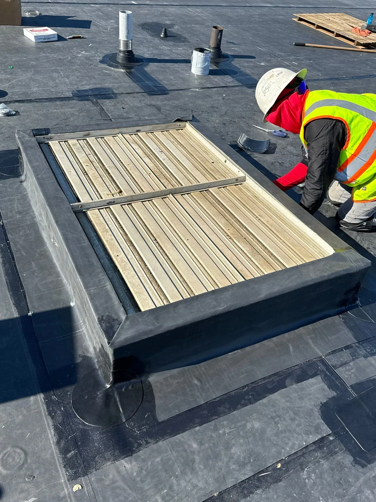
Before imaging, we identify the building footprint, roof sections and questions the owner needs answered. A large distribution building may need a section-by-section photo set. A campus or multi-building property may need separate labels for each structure. We confirm launch and landing locations, people and vehicle movement, rooftop equipment and any restricted areas. If permissions or weather prevent a safe flight, we record the limitation and discuss another inspection method.
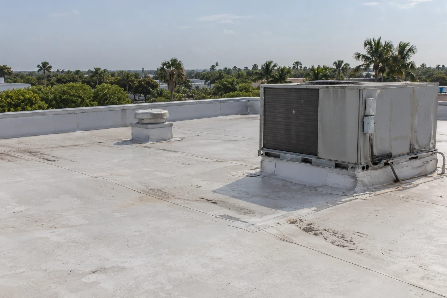
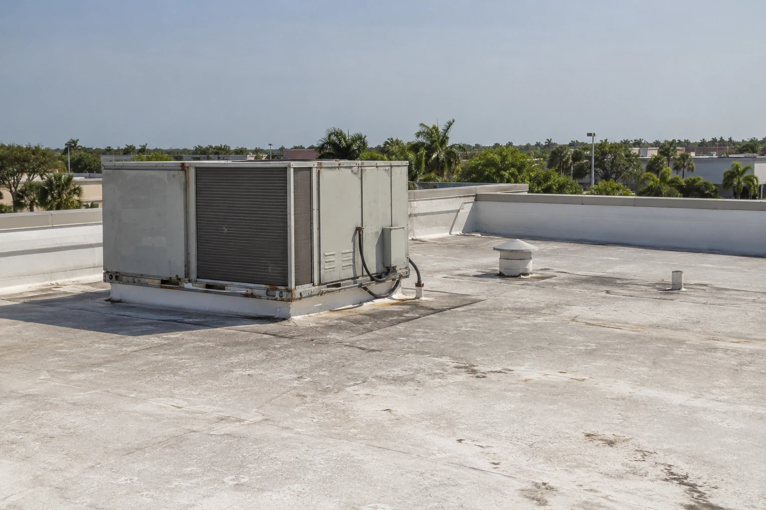
The image set can show membrane discoloration, visible debris, drainage patterns, patches and changes at rooftop transitions. We label views by building and roof zone so a manager can compare them with prior images. A wide view gives orientation; a closer image can capture a visible detail. Neither one reveals hidden moisture, the strength of an attachment or the full depth of a concealed opening.
The Paredes Line facility spans 500,000 square feet and has 48 dock doors. We key the image index to roof zones on the site plan, so the property team can direct follow-up to the correct section without confusing separate work areas.
Record: Keep every image tied to a place
Unlabeled images are difficult to use after the flight. We connect each frame to a roof area, view direction and visible feature. The report notes the date and any condition that affected image quality, such as glare, shadow, wind or a wet surface. If the imagery identifies a section for closer review, we mark the location and state why a roof visit or test is recommended.
Brownsville/South Padre Island International Airport has a 7,399-foot runway, and its aerospace industrial park covers 277 acres. Drone flight planning near air facilities needs careful site-specific review and any required permissions before launch. We do not assume that a general roof-imaging plan can be used at every address. The location, airspace, site rules and current operating conditions determine whether the flight can proceed.
Images can also help compare the roof after maintenance or repair. The owner can see whether debris was cleared, whether a patch is visible and whether the same area changed on a later date. A comparison documents surface appearance only. It does not certify that a seam is watertight or that an unseen layer is dry. If moisture is in question, an infrared moisture survey or test opening may provide different evidence.
Limits: Choose a closer inspection when needed
A drone camera sees exposed surfaces. It cannot inspect under a membrane, confirm fastener engagement or test whether insulation is wet. It may not resolve a small crack, loose weld or failed seal beneath equipment. If an image suggests damage, we identify the area and determine whether a closer examination is safe and appropriate. We do not turn a shadow or color difference into a confirmed defect.
At an industrial property such as the Airport Industrial Park or a site serving the Port of Brownsville, the building contact may have rules for access, escorts or operations. The named districts reflect local industrial activity, but the image plan follows the owner's specific building. A Paredes Line facility may need a different perimeter and flight sequence from a smaller retail roof. We confirm the route and protected areas before beginning.
Wind, rain and intense heat can affect whether imagery is useful or safe to collect. Brownsville's normal summer highs reach the mid-90s Fahrenheit, and tropical weather can bring rain and damaging winds. If conditions reduce image clarity or safe control, we reschedule or use another method. A condition report can combine selected images with hands-on notes, access limits and repair priorities. A repair scope can then identify the specific detail that needs work.
Follow-up: Turn images into roof actions
The closeout should identify the question answered by each image set and the area that needs a next step. We can recommend hands-on inspection at a marked location, routine debris removal, a repair scope or additional moisture testing. The owner receives a record organized by building and roof zone rather than a folder of unmatched photographs.
For a portfolio manager, the same labeling can support repeat surveys and show where visible conditions changed over time. A roof asset management record can keep dated image sets with the building history. We keep the imaging record tied to the date and actual roof. When a detail is not visible, the report says what additional inspection can establish. That gives the facility contact a choice based on the gap, not an assumption that aerial coverage answers every question.
Send the Brownsville address, roof plan if available and the areas you need documented. We will confirm access and flight conditions, collect the approved imagery and return a labeled record with recommended follow-up.
For a comparison to be useful, the later images need identifiable roof sections and a known date. We can use repeat views to flag a visible change, such as new debris, a displaced panel or an altered patch. Those differences give the owner a place to inspect more closely. They do not establish why the surface changed or whether water reached the layers below it. We keep the image finding and any hands-on confirmation in separate parts of the report.
Related Roofing Work
Other roofing services and buildings we handle across Brownsville.
Questions About Drone Roof Inspection
What can a drone show on a commercial roof?
It can document visible surface patterns, debris, patches, equipment layout and broad drainage areas from above. We label the images by roof section and note conditions that affect clarity. The view cannot confirm hidden moisture, attachment strength or the condition beneath the membrane.
Can drone images replace a hands-on roof inspection?
They serve different purposes. Aerial imaging helps map broad or hard-to-reach areas. A hands-on visit can examine accessible seams, flashings, curbs and material condition. We recommend a closer inspection where the image leaves a question about a specific detail.
Can you use a drone beside the Brownsville airport?
The address, airspace, site permissions and conditions on the day need review before a flight. The airport's presence in the city does not alone decide whether a flight can proceed. We confirm any required authorization and property access first, then reschedule or use another inspection method if needed.
Will the images tell me if roof insulation is wet?
No. Standard aerial images show the exposed surface. They do not measure concealed moisture. If the images identify a location of concern, we can plan infrared imaging, a core sample or another hands-on check, subject to owner approval.